
Kearns ZIP Codes and Their Reach
The official Kearns city pages and Utah small-area material identify 84118 as the primary Kearns mailing ZIP. A newer postal geography, 84129, can appear in Kearns-area history after a July 2011 carve-out. Broader planning material also uses 84120, 84081, and 84119 in market or neighboring-area analysis. Those broader ZIPs should not be presented as proof that every address sits inside incorporated Kearns.
| ZIP Code | Areas Covered | Post Office | Notes |
|---|---|---|---|
| 84118 | Primary Kearns mailing geography | Kearns facility listing | Postal area, not city line |
| 84129 | Post-2011 Kearns-area postal clue | Kearns facility standardized label | Not every address is Kearns |
| 84120, 84081, 84119 | Broader plan or neighboring context | Address-level USPS check | Do not assume city coverage |
USPS currently lists the Kearns facility at 5495 S 4015 W with a Taylorsville, Utah 84129-9998 standardized address. Kearns city pages use Kearns, Utah 84118. That mismatch describes a facility label, not the ZIP used by every Kearns household.
Kearns ZIP History: 84129 Appears
Utah Department of Health small-area material dates the creation of ZIP 84129 to July 2011. The change drew portions of 84119, 84118, and 84084 into the new ZIP, including 9,089 addresses from 84118. Kearns small-area definitions were revised starting in 2012. This is a valuable bridge date when an older directory or health record suddenly uses 84129.
Do not use the split as a city-incorporation date or as proof that a person moved. Postal geography, statistical geography, municipal geography, and parcel geography are separate. A past resident may appear under Salt Lake City, Taylorsville, West Valley City, Kearns Metro Township, an old ZIP, or a publisher’s suburban label.
Open the Utah ZIP boundary dataset for the map source behind this context.
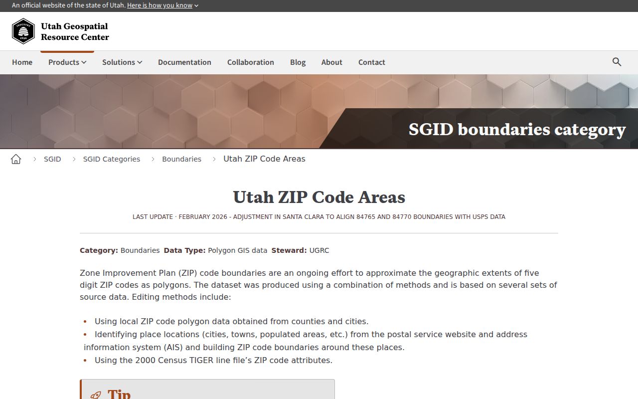
The Utah ZIP boundary source is useful for seeing why a map layer can support context without replacing USPS address verification.
Verify a Kearns ZIP with USPS
The USPS ZIP Lookup Tool offers three modes: By Address, By City and State, and Cities by ZIP. By Address uses Company as an optional field, Street Address, Apt/Suite/Other, City, State, Urbanization Code, and ZIP Code. The city/state mode asks for the city and state. The ZIP-to-city mode asks for the ZIP. Results can show 10, 20, or 30 rows per page, and USPS recommends adding a unit when one is known.
| By Address | Street Address is required; apartment or unit helps narrow a result. |
|---|---|
| By City and State | Use the city and state fields to see postal matches. |
| Cities by ZIP | Enter the ZIP to see associated city names. |
| Result warning | A ZIP result does not confirm a person or company is at an address. |
Check the USPS ZIP Lookup Tool before carrying a ZIP into a Kearns record search.
The USPS lookup screen is the right check before a Kearns ZIP code search is carried into a property or historical record.
Pair Kearns ZIP Context With Parcels
The Salt Lake County Assessor interface does not show a ZIP field in its primary search. It uses owner, selected address, or parcel number. County property information describes broader searching by owner, address, parcel, type, and year built, but the expanded controls were not fully exposed. GIS can display parcel geometry and tax districts, while the Recorder connects the parcel to deeds and legal descriptions.
That means a ZIP code is a filter or clue, not the stable identity of an address. Verify the delivery form with USPS, select the Assessor address suggestion, save the parcel number, and then use the parcel or legal description in the Recorder. Once a ZIP narrows to a street, use the Kearns street directory workflow for the address chain.
Kearns ZCTA and ZIP Differences
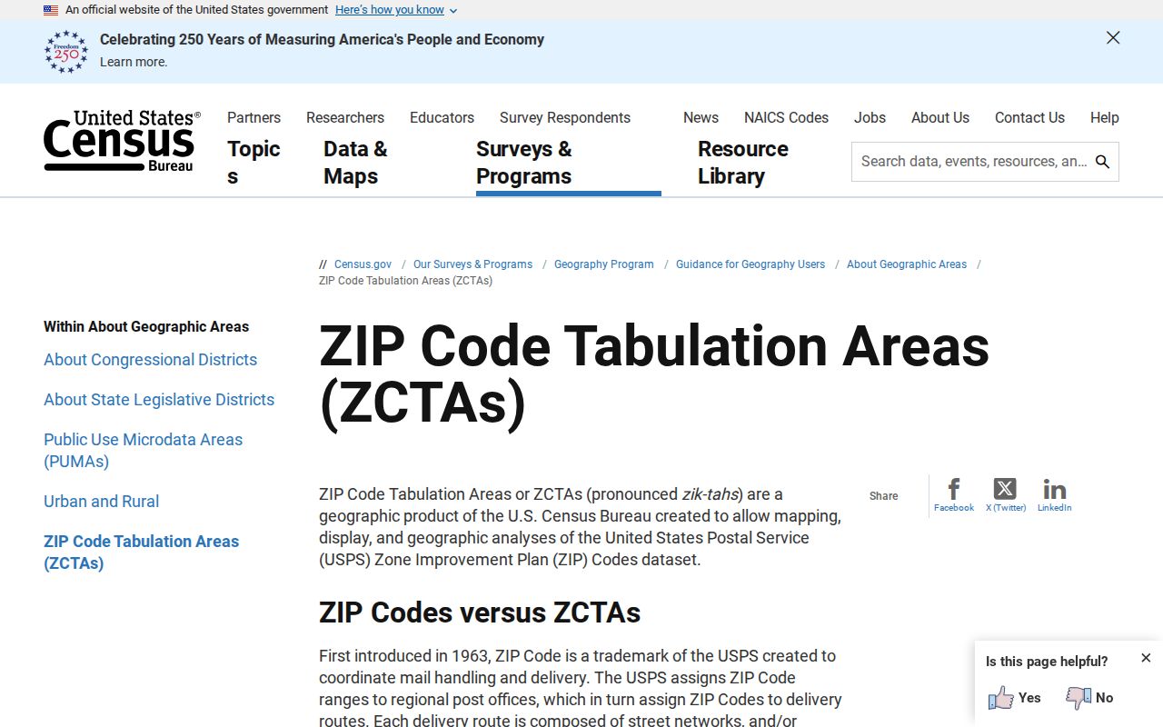
The Census uses a ZIP Code Tabulation Area, or ZCTA, for statistics. The Census warns that a ZCTA is not the same as a ZIP Code, may be noncontiguous, and does not represent every valid delivery ZIP. Utah’s UGRC layer is also approximate. It is useful for a map or population context, not for deciding whether a person receives mail at a Kearns address.
For an address-level task, USPS is the source to trust. For a parcel task, use county GIS and the Assessor. For a historical task, record the postal label printed in the source instead of rewriting it to fit today’s city.
Separate Kearns Facility Labels
The USPS facility page lists the Kearns facility at 5495 S 4015 W and standardizes its address as Taylorsville, Utah 84129-9998. It shows retail hours Monday through Friday 9:30–5:30 and Saturday 10–2, with Sunday closed, plus phone 801-964-4752. This is a facility address and service label. It is not proof that every Kearns household uses 84129.
When a directory, deed, tax card, or city page uses a different city name, preserve the original label and verify the current address separately. This simple comparison prevents a postal facility name from being mistaken for a city boundary.
Finding Kearns Residents by ZIP Code
A ZIP-wide resident list is not exposed by the main Kearns portals. The Assessor begins with owner, address, and parcel. The voter data channel can provide public records through a request, but the individual status lookup is not a ZIP-wide browse. GIS offers approximate ZIP layers and parcel context. MSD Cityworks uses a property address, not a published ZIP-wide resident search.
- Verify the exact delivery address in the USPS ZIP tool.
- Use the Utah ZIP boundary layer for approximate map context.
- Search the Assessor by selected address or parcel, not by an assumed ZIP.
- Request voter data only through the lawful state or county channel.
After the ZIP is narrowed to a verified address, the Kearns street directory page takes the search down to parcel and street level.
ZIP Lines and Kearns City Limits
ZIP boundaries are delivery areas, not legal city boundaries. The Census calls its statistical polygons ZCTAs and warns that they are not the same as ZIP Codes. Utah’s UGRC ZIP dataset uses approximate polygons from USPS/AIS, local polygons, and TIGER, and its February 2026 update warns against treating the lines as true geography. Use a ZCTA for population context, not for an address-level person claim.
Kearns became a city in 2024, while older records may say Kearns Metro Township or unincorporated Salt Lake County. A Kearns city page can use 84118 while the local USPS facility is standardized as Taylorsville, Utah 84129-9998. Confirm the street address with USPS, the city boundary with a government source, and the parcel with Salt Lake County.
- ZIP versus ZIP+4
- A five-digit delivery area versus a more precise add-on used for sorting.
- ZCTA
- A Census statistical approximation, not a full list of valid ZIP Codes.
- Postal facility label
- The city name used for a post office location, which may differ from a delivery city.
- Parcel key
- The county tax identifier that links an address to property records.