
Walk a Kearns Street by Address
A careful street search begins with one normalized address. First use USPS to confirm the delivery form, then select the matching address in the Salt Lake County Assessor. Save the parcel number and legal description. Next, inspect the county GIS Parcel Viewer to see the frontage and nearby polygons. The Recorder can then connect that parcel to recorded parties and prior instruments. Voter data and reverse directories can add registration or historical household clues, but neither is a guaranteed current occupant list.
The city and county labels need care. Kearns incorporated on May 1, 2024, while older records may use Kearns Metro Township or unincorporated Salt Lake County. MSD handles many address, permit, zoning, and code services. A street record can cross those layers without being wrong.
- Confirm the postal address, city label, and ZIP with USPS.
- Search the county Assessor and select the address suggestion.
- Walk the same street in the county GIS Parcel Viewer.
- Use the parcel and legal description in the Recorder index.
- Compare voter or reverse-directory evidence only after the parcel trail is clear.
Assessor Fields for Kearns Addresses
The Salt Lake County Assessor interface is built around three keys. Owner is an optional text field labeled “Last Name, First Name.” Address is an autocomplete field, so select the parcel or address suggestion after typing. Or Parcel Number accepts the displayed format 00-00-000-000-0000. Search runs the query. Reset clears it. This is the page’s key street-directory tool because it turns a street number into a parcel record.
| Owner | Optional indexed owner name, including the displayed last-name-first format. |
|---|---|
| Address | Text and autocomplete; choose the suggested situs address or parcel. |
| Parcel number | Optional tax key, shown as 00-00-000-000-0000. |
| Search | Runs the owner, address, or parcel query. |
| Reset | Clears the current search. |
Save the situs address and owner mailing address as separate fields. The mailing address may be outside Kearns. A current resident who rents or shares a parcel may not appear in the owner field. The Salt Lake County Assessor is the source for the live form.
See the Salt Lake County Assessor portal before opening the address screenshot.
The county search screen is a useful first bridge from a Kearns street to the parcel and owner record that can be checked next.
Browse Kearns Parcels in GIS
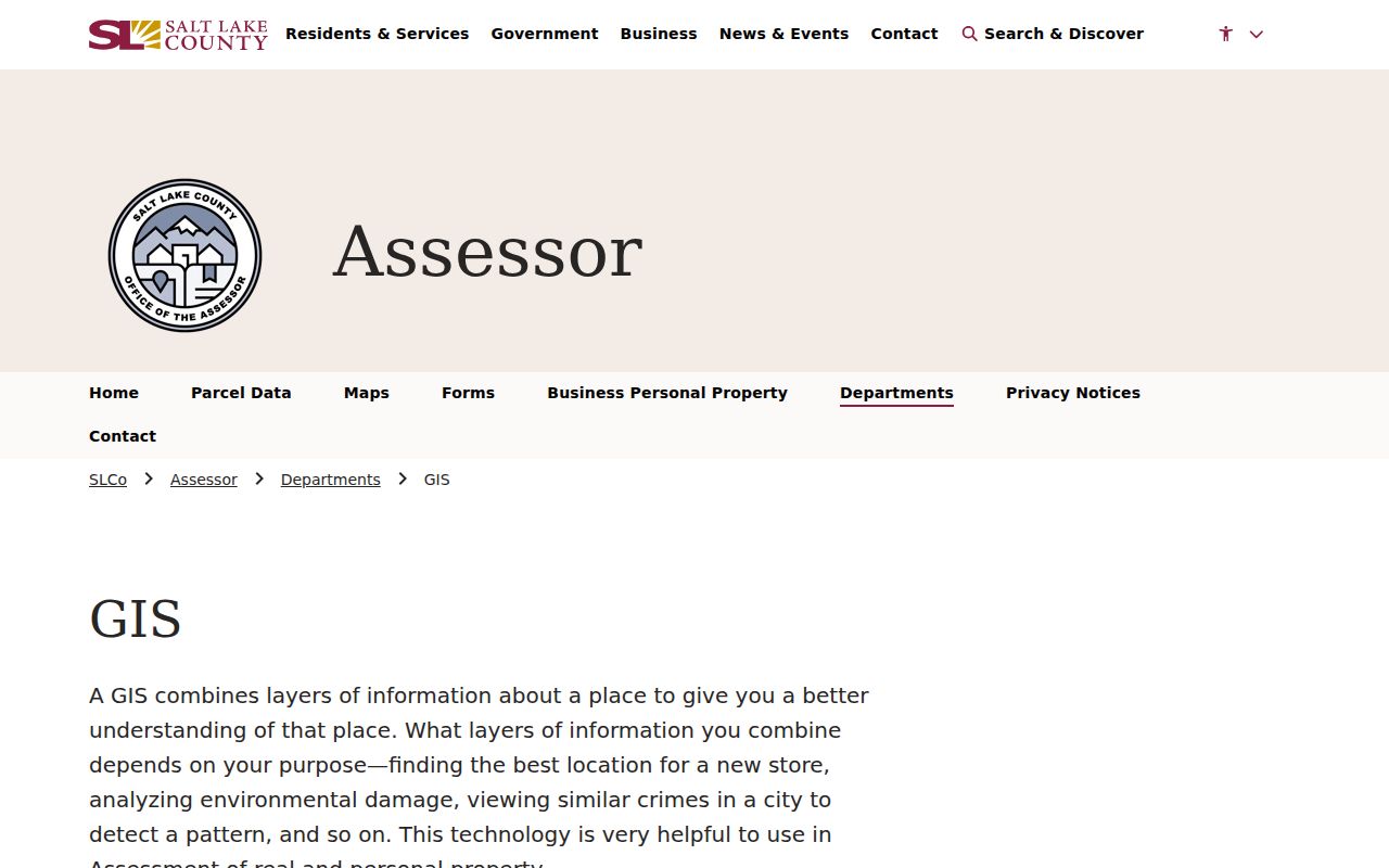
The Salt Lake County Assessor GIS page links to Find a Parcel, the Assessor Parcel Viewer, Tax Districts, parcel layers, legal descriptions, plats, and EagleView oblique imagery. Pan along a Kearns street and open each parcel link rather than treating a map label as a resident record. Parcel polygons show adjacency and frontage. Tax district, zoning, floodplain, and aerial layers give context, but the person fields come from the Assessor or Recorder.
The exact live viewer controls were not exposed in the inspected text. The research does not confirm a radius tool, export button, or street-range search. Use the map’s actual identify or select controls if present, and record the parcel IDs by hand. For a whole street, repeat the process for each polygon. Adjacent parcels can be vacant, institutional, common areas, or in another jurisdiction.
Map rule. GIS is best for finding parcel shape and neighbors. It is not proof of occupancy, and it cannot reveal private utility or delivery customers.
Use the county GIS page to open the current Parcel Viewer and tax maps before checking individual records.
Check Kearns Permit Address Trails
Many operational Kearns records sit with Greater Salt Lake Municipal Services District rather than a City Hall clerk. MSD Building Services uses Cityworks. An account can apply for permits, print permits, download stamped plans, schedule inspections, view inspection results and comments, and print a certificate of occupancy. Search or application entry can use a Building Permit Number, Business License Number, or Property Address. Permit questions use 385-910-7138, and the inspection hotline is 385-910-5830.
MSD Planning Information Finder is an address-based zoning and land-use map. Recorded plats remain with the Salt Lake County Recorder. A permit applicant is not automatically the current owner, and a code complaint does not prove who lives at the address. If the Cityworks public fields do not answer a focused question, identify the custodian and send a specific Utah GRAMA request for an address and date range.
Open the Recorder account and fee page to see the expanded access path.
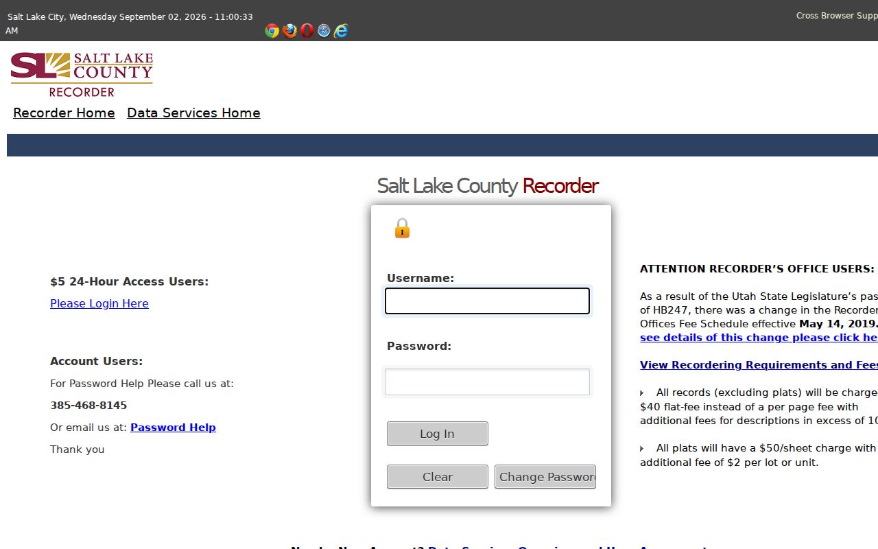
The Recorder account screen shows why some expanded address history sits behind a paid access path even when a quick search is free.
Read a Kearns Street Backward
The University of Utah suburban Polk volumes and Salt Lake County Archives holdings can turn an address into a past household. Search the Kearns community label, open the reverse or criss-cross section, and record the year, publisher, page, occupant, owner or renter mark, and any spouse or occupation notation. This is historical evidence. It does not update the current street record.
When the current number fails, try the legal description, lot and block, nearby street names, old city labels, and the Archives proof-of-residence route. Exact Kearns street-renumbering or renaming year was not located, so preserve the uncertainty instead of inventing a bridge.
Bridge Kearns ZIP Labels
Older Kearns material may use 84118, 84129, 84119, or another city and postal label. The 2011 creation of 84129 moved 9,089 addresses from 84118, and USPS now standardizes the local facility as Taylorsville 84129-9998. Neither detail proves that a person moved. Verify the delivery address with USPS, then use the county parcel and legal description as the stable bridge.
Request an Offline Kearns Address Record
When a portal does not expose the needed street record, name the custodian and ask for a defined item. Include the exact address, parcel number or legal description, record type, date range, and preferred format. Salt Lake County Archives accepts written directory and tax-ledger requests. The Recorder can address deed-book or index questions. MSD can address permit and code records. Utah GRAMA requests go to the agency holding the record.
Normal GRAMA responses are due as soon as reasonably possible and no more than 10 business days. An expedited public-benefit request is due within 5 business days. Fees may be a reasonable actual cost. A denial should cite the law and can be appealed through the stated agency path.
Kearns Records Searchable by Street
A Kearns street directory works best when each record keeps its own claim. The Assessor gives an owner of record and assessment fields. GIS shows the parcel’s shape and tax-district setting. The Recorder supplies deeds, liens, plats, and recorded parties. Voter data can add a lawful registration address or precinct field. MSD Cityworks can hold address-linked permit and inspection material. A reverse directory supplies a historical occupant clue.
| Record Set | Keeper | What It Shows | Access |
|---|---|---|---|
| Property / tax roll | Salt Lake County Assessor | Owner, situs, mailing, values | Free portal |
| GIS parcel map | Salt Lake County GIS | Parcels, adjacency, districts, layers | Free viewer |
| Deeds and liens | Salt Lake County Recorder | Recorded parties, plats, prior owners | Quick search, paid depth |
| Voter information | Utah elections offices | Allowed registration and precinct fields | Request or lookup |
| Building permits | MSD Cityworks | Permit, inspection, plan, certificate trail | Account / request |
The parcel number links the Assessor to deeds and GIS. The legal description remains the bridge when an old document uses lot and block rather than a current street number. A street name can guide a voter or directory search, but it is not a substitute for a parcel key.
Watch a Kearns Parcel Change
Salt Lake County Property Watch is a free email or text alert tied to a selected parcel. It notifies a subscriber when a document attached to that property is recorded. The service does not cover unlinked documents and is not a title-clearance opinion. A new alert is a prompt to inspect the Recorder entry, not proof that a person moved in or out.
For a whole street, save each parcel separately before turning on an alert. Check the legal description and document number when a notice arrives. Title questions belong with a title company or attorney, while recording questions belong with the Recorder. The Property Watch page is the current source for enrollment and limits.
Limits of a Kearns Street Directory
A street directory cannot promise every person at a parcel. The public property trail may omit renters, household members, children, private utility customers, delivery customers, and a person who moved without a new recorded interest. DMV addresses are restricted under the federal Driver’s Privacy Protection Act. Sealed court and vital records, protected voters, and unrecorded occupancy stay outside the address chain.
Lawful use. Kearns street and address records are useful for family history, property questions, and civic research. Do not use an address result to stalk, harass, intimidate, or harm anyone.