
Looking Up Your Kearns Neighbors
A block lookup begins with parcel geography, not a promise of a complete neighbor list. County GIS can show the parcel beside a known address, its shape, roads, tax districts, and available layers. The Assessor supplies owner-of-record and mailing or situs fields. The Recorder can show recorded parties, plats, liens, and deed dates. A reverse directory may show an older household at the address. Voter data can add permitted registration fields through its request channel.
| Source | What It Shows About a Block | Access |
|---|---|---|
| Salt Lake County GIS Parcel Viewer | Adjacent polygons, parcels, districts, layers | Free map |
| Salt Lake County Assessor | Owner of record, situs, mailing address | Free search |
| Utah voter data | Permitted registration and precinct fields | Request or lookup |
| Kearns civic sources | Board, event, partner, and public contacts | Official pages |
| Polk reverse directories | Past households by address | Library or Archives |
These records describe owners, filed parties, registered voters, public participants, or historical occupants. They do not establish that an owner lives on the parcel, that a voter remains at the address, or that a person named in a meeting packet is a neighbor. Keep source dates and roles beside each note.
Kearns Civic Contacts Around the Block
The Kearns Community Council is an official civic body with nine unpaid elected volunteers. Its page and meeting material can identify recommendations, events, and a route for participation, but no public member-address directory was located. City of Kearns meeting pages and document-library records can show boards, commissions, applicants, speakers, packets, and minutes. A name in one of those files must stay tied to its stated role.
MyKearns is a volunteer coalition that reports serving 5,000 or more residents through 30 or more partner organizations and seven workgroups. That community layer can help a person find a public contact for a local concern. It does not publish a household roster. No complete official Kearns HOA, neighborhood-association, congregation, or block-watch member directory was located.
Visit MyKearns for the community-coalition source shown below.
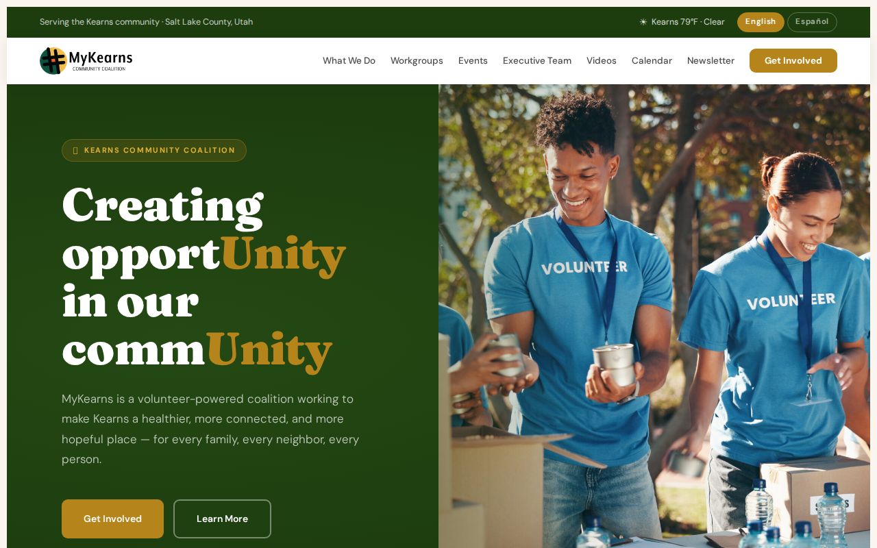
The MyKearns page shows the civic-contact layer that can surround an address without exposing private neighbor membership.
Use the Kearns Community Council page for the official civic contact shown here.
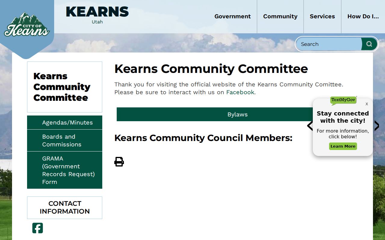
The Community Council page adds an official Kearns civic route, while its public material still does not function as a household roster.
Make a Kearns Block Inventory
After the GIS map opens, keep one row for each parcel. Record the parcel ID, situs address, owner of record, owner mailing address, legal description, tax district, and source date. Do not label the mailing address as the neighbor’s home. A nearby parcel may be vacant, institutional, common area, or outside the Kearns city line.
For each parcel, the Assessor is the current owner step. The Recorder is the recorded-interest step. GIS is the geometry step. If the block question becomes a whole-street ownership history, use the Kearns street directory workflow rather than treating adjacent parcels as one chain.
Practical split. Save owner mailing address and situs address in separate columns. That small habit prevents a property record from becoming an unsupported claim about where a person lives.
Read Block-Level Voter Data
Utah voter records may include public residential or mailing address, precinct or district, status, party, year-of-birth or age range, and vote-history categories. The public file does not expose full birth date, ID number, signature, phone, email, or At-Risk identity. A lawful file request may support an aggregate block question, but the site should not promise a public list of every person at each nearby address.
SB 153 changed the privacy landscape in 2026. The statewide and Salt Lake County notices published different May transition dates for At-Risk protection. Verify the current deadline with the county. Protected data is a limit on the search, not evidence that a person is absent from the block.
Open the Salt Lake County election maps to see the district context source.
Election maps can add district context to a Kearns neighbors search, but a map boundary is not a household directory.
Map a Kearns Block by Parcel
Start with the known address in the Salt Lake County Assessor GIS Parcel Viewer. Click the parcel polygon, note its shape and parcel number, then move to the polygons that touch it. Open the Assessor link for each adjacent parcel. Use the Recorder when an ownership document or legal description needs checking. The official text does not confirm the viewer’s exact buffer, select, measure, print, or export controls, so use only the controls that are visible in the live map.
- Locate the address and parcel polygon in Salt Lake County GIS.
- Note adjoining polygons, parcel IDs, roads, and frontage.
- Open the Assessor record and keep situs and mailing fields distinct.
- Check the Recorder for a recorded interest, then stop at the parcel boundary.
For the full named-street record chain, switch to the Kearns street directory walkthrough.
Use MSD Records for Block Context
Greater Salt Lake Municipal Services District handles many Kearns planning, zoning, addressing, building, grading, code, and GIS functions. Cityworks can use a property address, Building Permit Number, or Business License Number. Account users may print permits, download stamped plans, schedule inspections, see inspection comments, and print a certificate of occupancy. Those files describe an administrative event, not a list of everyone on a block.
Kearns’ report-problem service routes categories such as building, code enforcement, land use, stormwater, parking, and public works through MSD. The public page does not promise that a complainant or subject name will be public. For a particular address and date range, ask MSD or the proper agency about a Utah GRAMA request.
Official Rolls Versus Compiled Tools
County GIS, the Assessor, and the Recorder expose a defined parcel, ownership field, or recorded instrument. A commercial neighbor tool is a compiled category that may blend filings, marketing data, and old addresses. It can be stale, incomplete, or tied to the wrong person. For a Kearns block, use the official parcel path first and treat any outside result only as a prompt to verify with the named custodian.
Privacy Limits on Kearns Neighbors
A parcel map does not show renters, household members, children, utility customers, delivery customers, DMV addresses, or unrecorded occupancy. Safe at Home and Utah voter At-Risk protections can shield address information. Sealed court and vital records stay outside a routine neighbor lookup. Commercial compiled address tools can retain old data or mix same-name people, so they are not a substitute for the county map or custodian.
Lawful use. Kearns neighbor lookups are for understanding a block, reconnecting through public civic contacts, and personal safety awareness. Do not use them to watch, stalk, harass, intimidate, or harm anyone.